
Attractions · 25.10.2026 · 5 min read
Transalpina: a guide to the highest road in Romania
A guide to the Transalpina, the DN67C, the highest paved road in Romania, with the Urdele Pass at 2,145 metres: the route from Novaci to Sebes, what you see along the way, when it is open, how it compares with the Transfagarasan and how to get there from Dracula Land.
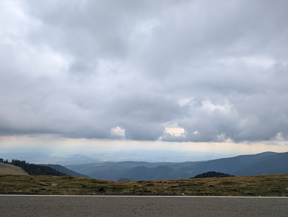
The Transalpina is the highest road in Romania. The DN67C crosses the Southern Carpathians from Novaci, in Gorj County, to Sebes, in Alba County, and climbs to 2,145 metres at the Urdele Pass. If the Transfagarasan impresses with its hairpin bends and tunnel, the Transalpina impresses with space: whole kilometres of road along the ridge, above the forests, with open views in every direction.
Below you will find the route, what you see along the way, when it is open and how to get there from Dracula Land, in Gherghita, Prahova County.
In short
- Route: Novaci (Gorj) – Ranca – Obarsia Lotrului – Sebes (Alba), about 148 km.
- Highest point: the Urdele Pass, 2,145 m, the highest point on any road in the country.
- When it's open: usually from June until autumn; in winter the high section is closed.
- From Gherghita: about 306 km to Novaci, roughly five and a half hours.
- Good to know: there are no petrol stations on the mountain section.
An old road, only recently paved
A mountain track has followed the Transalpina's route for hundreds of years, used by shepherds for transhumance, moving their flocks between summer and winter pastures. Local tradition also calls it "the King's Road", linking its rebuilding to the interwar years. For a long time, though, it was a dirt and stone track, hard to drive.
The Transalpina only became famous after it was paved in the 2010s. Since then, motorcyclists and drivers from all over Europe have come here for one of the most beautiful mountain roads on the continent.
What you see along the way, from the south
- Novaci, the town at the foot of the mountain, where the climb begins.
- The bends up to Ranca, with views over the hills of Oltenia.
- Ranca resort, at about 1,600 metres, with guesthouses, restaurants and ski slopes in winter.
- The Urdele Pass, at 2,145 m, the highest point, with a panorama over the Parang Mountains.
- Obarsia Lotrului, the junction with the DN7A, which runs down the Lotru Valley towards Voineasa.
- Lakes Vidra and Oasa, on the northern slope, surrounded by fir forests.
- The descent through the Sebes Valley to Sebes, near Alba Iulia.
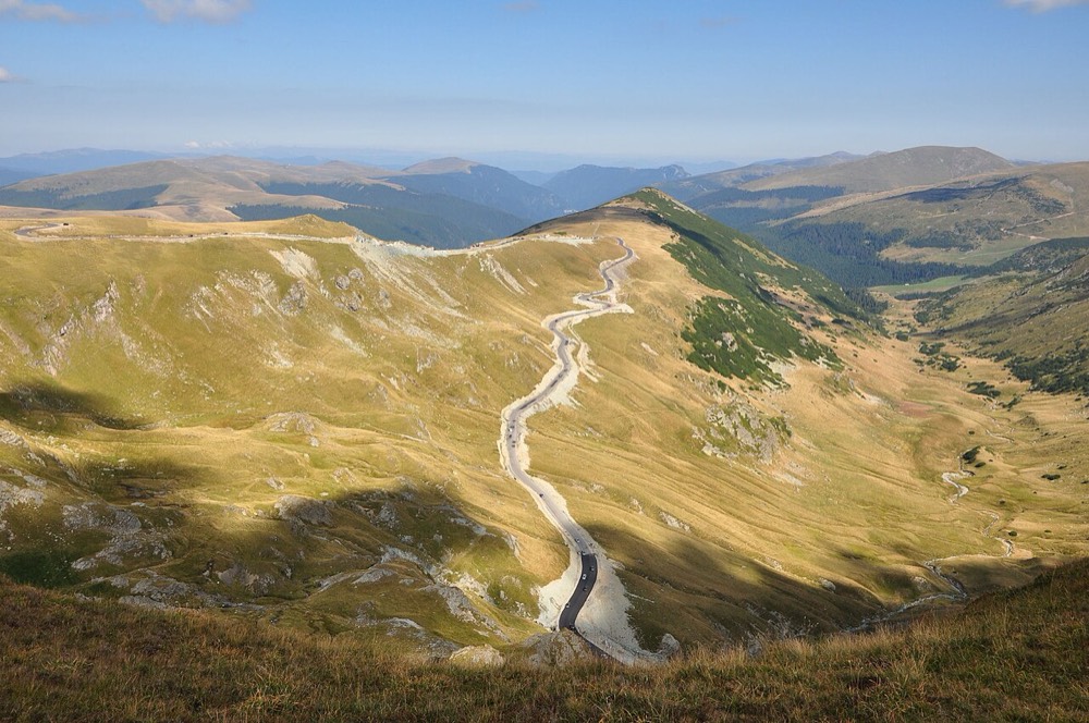
Ranca, the resort on the Transalpina
Ranca is the best place to stop on the Transalpina: a holiday village at the edge of the forest, with guesthouses and chalets, close to the top of the road. In summer it is a starting point for hikes in the Parang Mountains, and in winter it becomes a small ski resort.
When the road is open
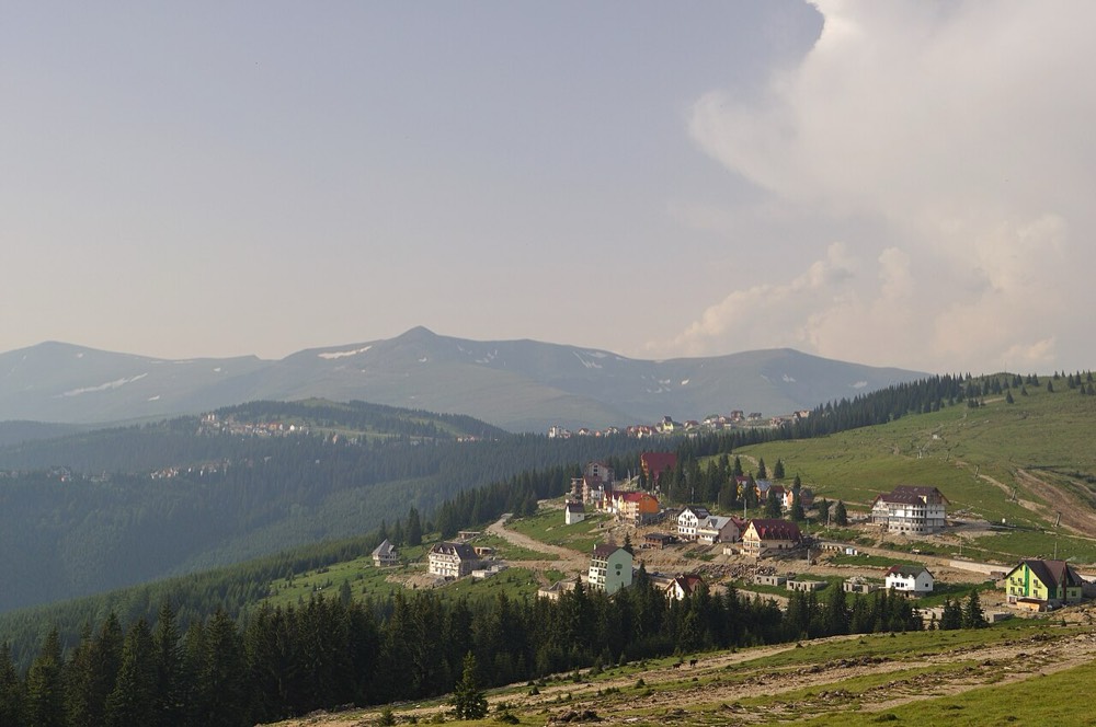
The high section of the Transalpina, between Ranca and Obarsia Lotrului, closes in winter because of snow and usually reopens at the start of summer, depending on the weather. When the road is open, traffic is usually daytime only, with restrictions for lorries and reduced speed on the bends. The opening date and restrictions are announced each year by CNAIR and the Craiova Regional Roads Directorate, so check before you travel: false news about the opening often circulates online.
Transalpina or Transfagarasan?
- The Transfagarasan is more dramatic: tight bends, a tunnel, a glacial lake at the top and many stops on the way, from Poenari to Vidraru. It is also busier.
- The Transalpina is higher and wilder: a long road along the ridge, wide views, fewer tourist sights and fewer people.
If you have time, you can do both on a holiday of a few days: the Transalpina from Novaci to Obarsia Lotrului, then the Lotru and Olt valleys, and back over the Transfagarasan. For the other road, read our Transfagarasan guide.
Tips for the drive
- Fill up in Novaci or Sebes. There are no petrol stations on the mountain.
- Warm clothes and rain gear. At 2,000 metres the weather changes within minutes.
- Drive carefully. Sheep and cows may be on the road along the ridge, and many motorcyclists ride the bends.
- Bears. Bears can appear here too; don't feed them and don't get out of the car. More in the bears of Romania.
- Take your time. Allow a full day for the whole route, with stops in Ranca and at the lakes.
How to get there from Dracula Land
From Gherghita, head for Pitesti, then towards Ramnicu Valcea and Targu Jiu or straight to Novaci, where the Transalpina begins. It is about 306 km to Novaci, roughly five and a half hours, and about 322 km to Ranca. Because the drive is long, it is best to spend a night in Ranca or Novaci and drive the Transalpina the next morning, when the light is at its best.
Where to stay
For the rest of your holiday, choose accommodation near Dracula Land, close to the A3 motorway, and combine the mountain roads with Bucharest, the Prahova Valley and the castles of Romania.
Keep reading
More articles

Ialomita Cave (Ialomicioara): the legend, the monastery and how to get there
Ialomita Cave in the Bucegi, with the monastery at its entrance: a short history, local legends, what you see inside and how to get there from Dracula Land, about 127 km away.

Omu Peak, the roof of the Bucegi: trails and tips from Dracula Land
Omu Peak, the highest point of the Bucegi: a short history of the hut on the ridge, the routes up, safety tips and how to get there from Gherghita.